 vesseltracker.com
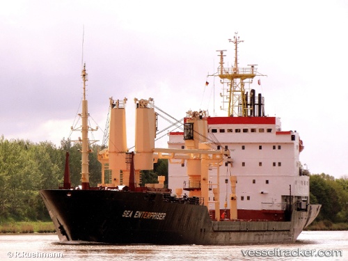
Vessel YAMAL IRBIS IMO: 8502092, MMSI: 273375620 General Cargo
Live AIS position:
UTC. 17 nm SW of Novodvinsk),
updated 2025-12-30 00:13:26 UTC.
Find the position of the vessel YAMAL IRBIS on the map. The latter are known coordinates and path.
marine traffic ship tracker show on live map
The current position of vessel YAMAL IRBIS is 64.26667 lat / 40.28500 lng. Updated: 2025-12-30 00:13:26 UTCCurrently sailing under the flag of Russia
YAMAL IRBIS built in 1998 year
Deadweight:
7049 tDetails:
Last coordinates of the vessel:
2025-12-30 00:13:26 UTC, 64.26667, 40.28500, course: -1, speed: 52